Aller au contenu principal
+33 5 53 31 45 45
Я готовлю свое пребывание
Я на месте
ru
Voir les favoris
Добро пожаловать в Сарла, столицу Перигор-Нуар.
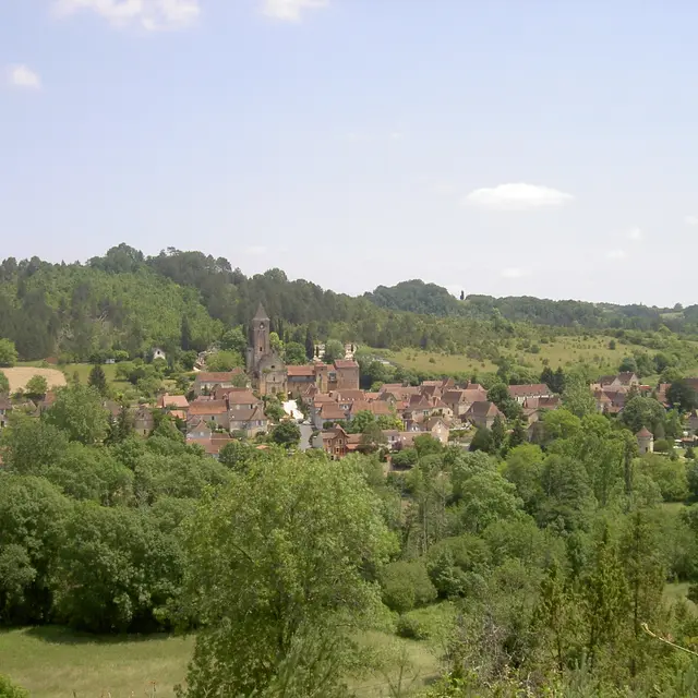
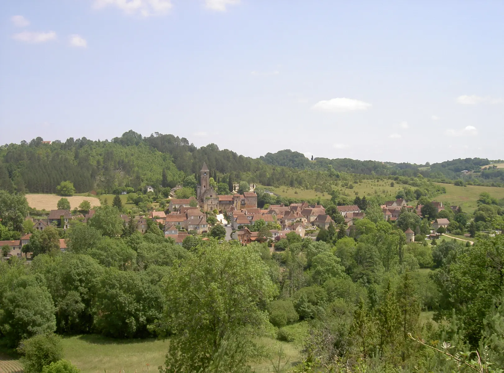
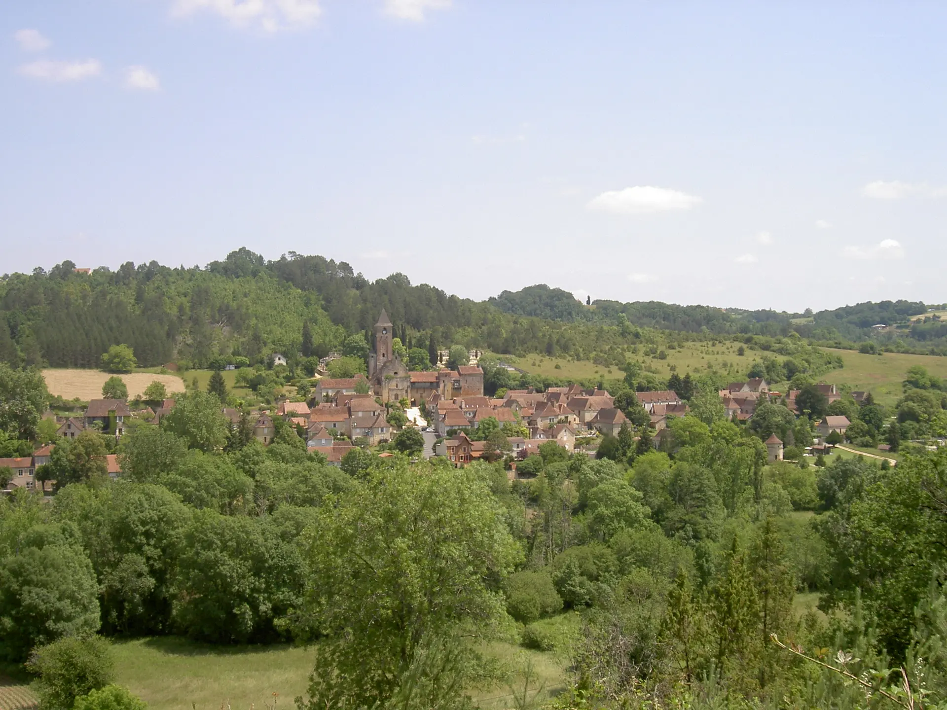
Itinéraire de mobilité Le Bugue - Plazac
Itinéraire de mobilité Le Bugue - Plazac
24260 Le Bugue
GLOBAL.GETTING_THERE
×
Ouvrir l'itinéraire dans
Google Maps
Apple Plans
Waze
Mappy
GLOBAL.SHARE
×
Partager cette fiche
Itinéraire de mobilité Le Bugue - Plazac
E-mail
WhatsApp
Facebook
X
LinkedIn
Pinterest
SECTIONS.TOURISM.SHEET.DESCRIPTION
This route takes you from le Bugue to Plazac, along quiet roads and paths.
GLOBAL.READ_MORE
Закрыть
Популярные поисковые запросы
{% label %}
Поиск по фильтру
Типы страниц
Все
Статьи
Повестка дня
Списки
Aucun résultat
/
Русский
Français
Italiano
English
Español
Deutsch
Закрыть
×