Aller au contenu principal
+33 5 53 31 45 45
Я готовлю свое пребывание
Я на месте
ru
Voir les favoris
я обнаружил
Перигор
Destination
Город Сарла
Les incontournables
Marché de Sarlat
©
Marché de Sarlat
Рынок Сарла
Я готовлю
мое пребывание
Informations pratiques
магазин
Hôtels à sarlat et en périgord Noir
©
Hôtels à sarlat et en périgord Noir
Отели
Sarlat Tourisme - Périgord Noir
Je sélectionne
mes activités
Culture & patrimoine
Bien être et remise en forme
Loisirs et activités de plein air
Terroirs et gastronomie
En famille
Je réserve
mon séjour
Activités sportives
Добро пожаловать в Сарла, столицу Перигор-Нуар.
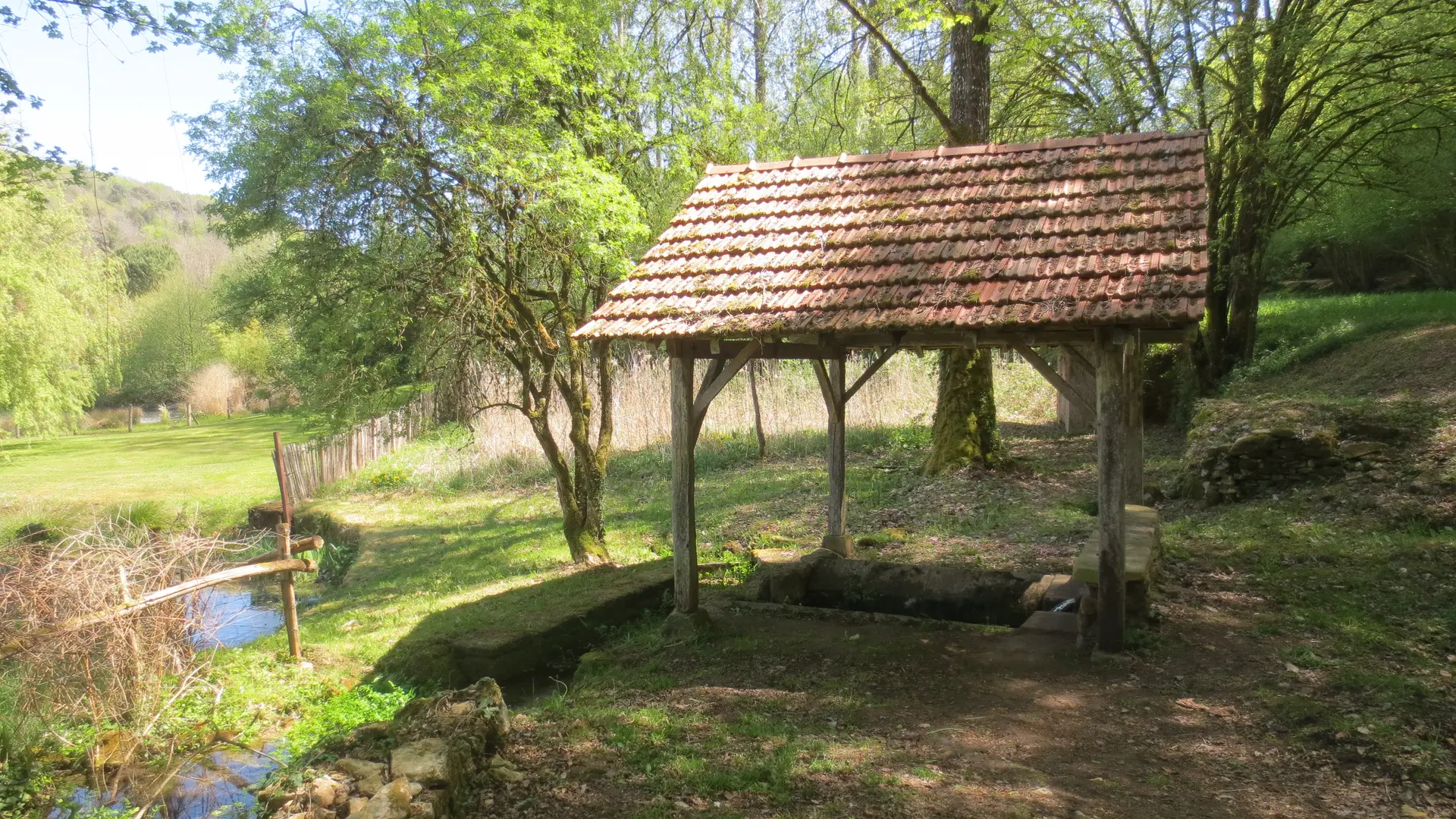
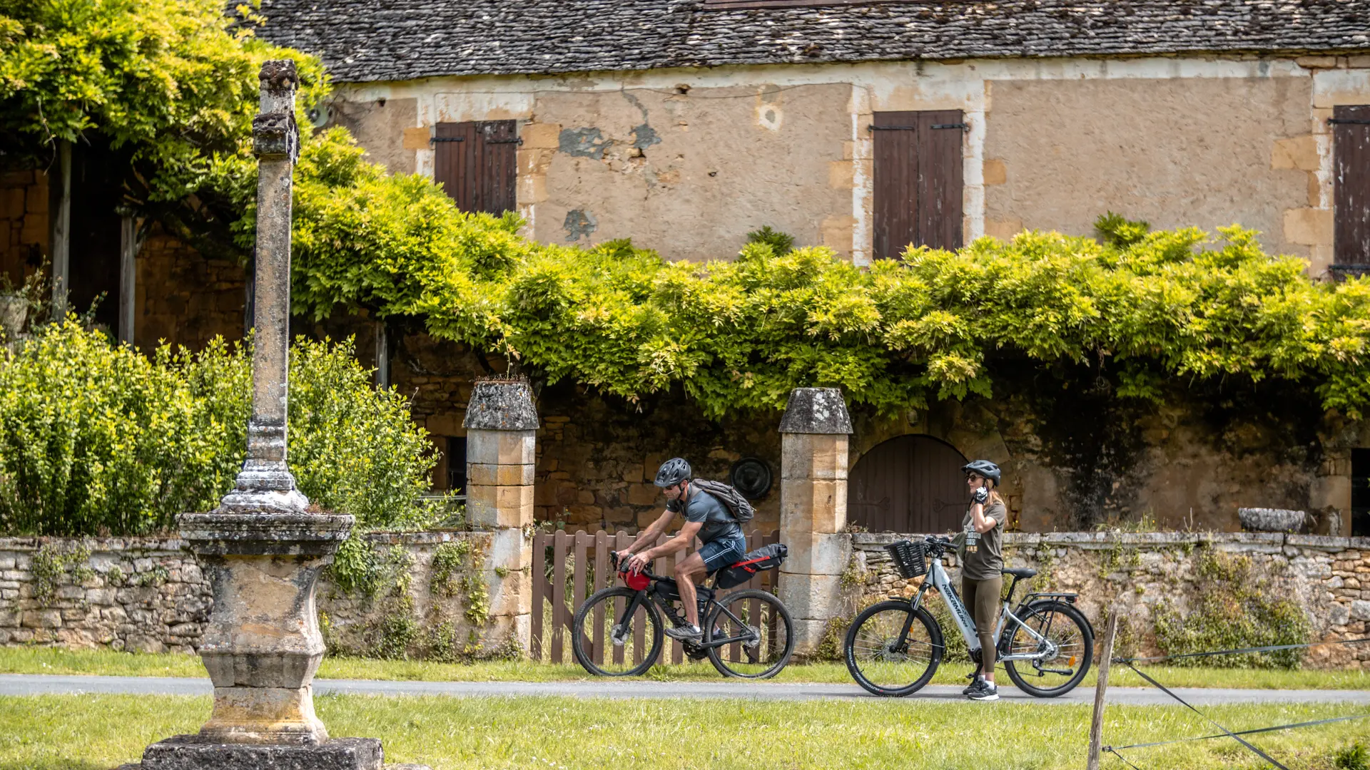
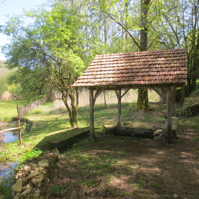
Parcours VTT N°8
Parcours VTT N°8
Mountain biking
24200 Saint-André-d'Allas
GLOBAL.GETTING_THERE
×
Ouvrir l'itinéraire dans
Google Maps
Apple Plans
Waze
Mappy
GLOBAL.SHARE
×
Partager cette fiche
Parcours VTT N°8
E-mail
WhatsApp
Facebook
X
LinkedIn
Pinterest
×
SECTIONS.TOURISM.SHEET.DOCUMENTATION
circuit 8 Points de vigilance.pdf
Закрыть
Популярные поисковые запросы
{% label %}
Предложения по страницам
Parcours VTT N°8
Parcours VTT N°8
Parcours VTT N°8
Поиск по фильтру
Типы страниц
Все
Статьи
Повестка дня
Списки
Aucun résultat
/
Русский
Français
Italiano
English
Español
Deutsch
Закрыть
×