Aller au contenu principal
+33 5 53 31 45 45
Я готовлю свое пребывание
Я на месте
ru
Voir les favoris
Добро пожаловать в Сарла, столицу Перигор-Нуар.
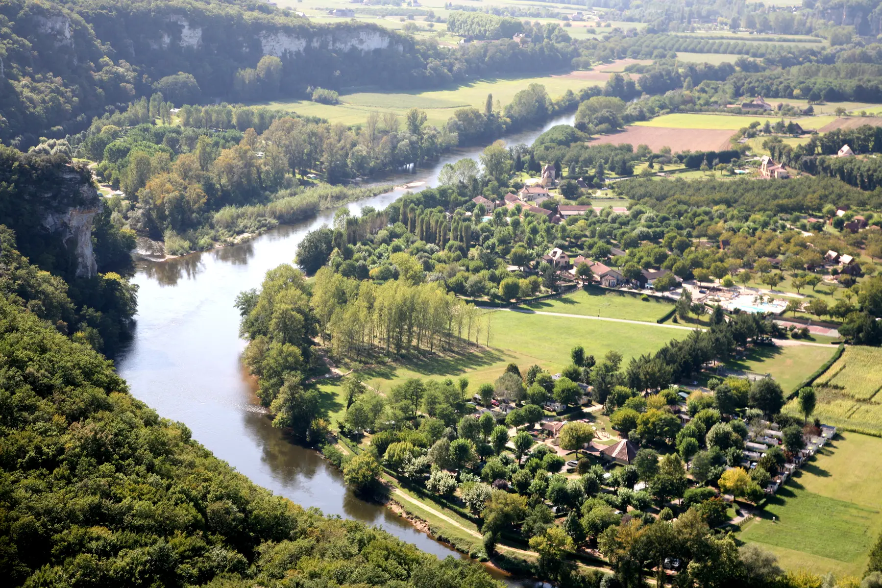
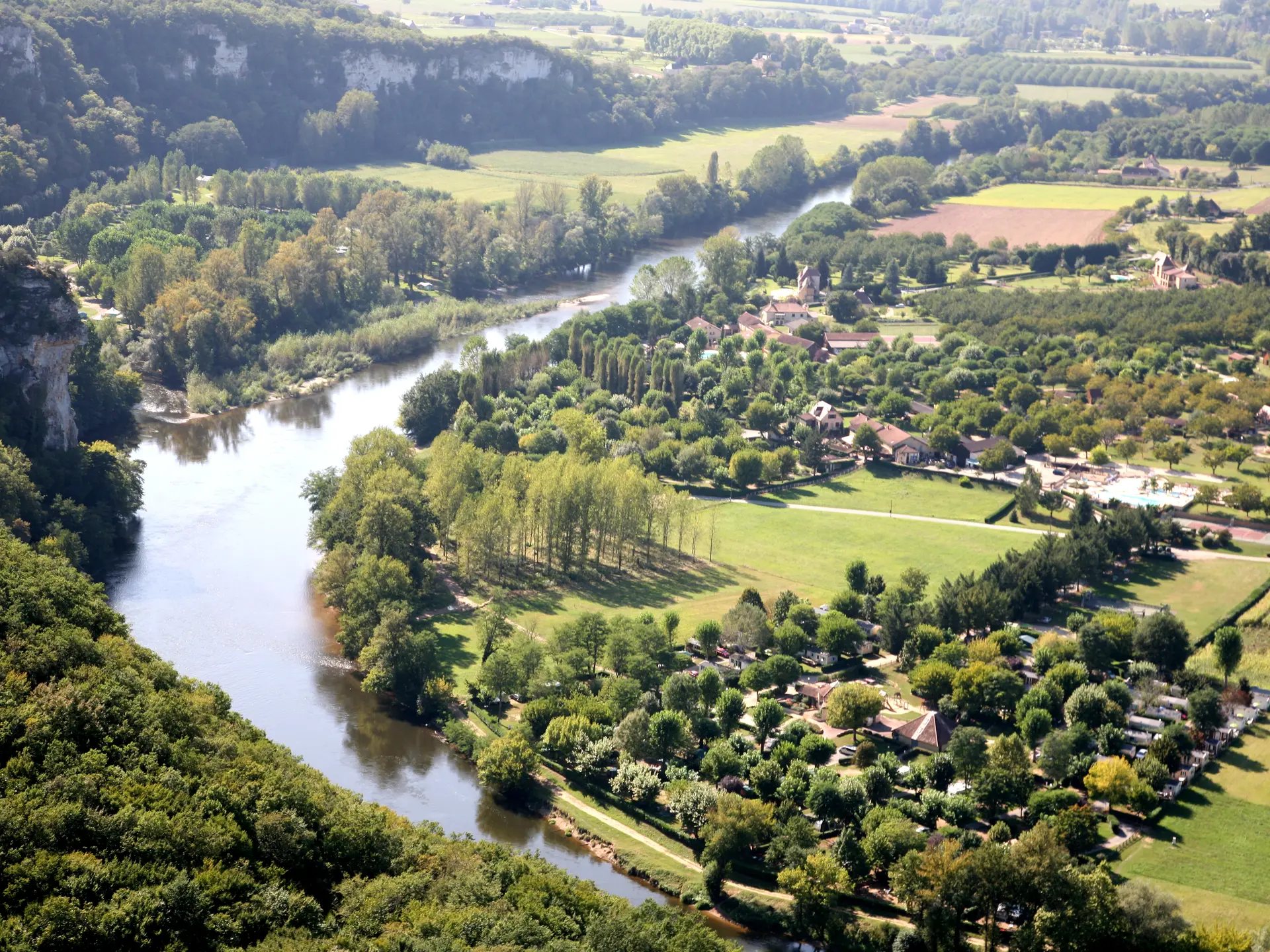
Boucle de Marobert
Boucle de Marobert
24200 Vitrac
GLOBAL.GETTING_THERE
×
Ouvrir l'itinéraire dans
Google Maps
Apple Plans
Waze
Mappy
GLOBAL.SHARE
×
Partager cette fiche
Boucle de Marobert
E-mail
WhatsApp
Facebook
X
LinkedIn
Pinterest
SECTIONS.TOURISM.SHEET.DOCUMENTATION
Notice d'utilisation des sentiers.pdf
Закрыть
Популярные поисковые запросы
{% label %}
Поиск по фильтру
Типы страниц
Все
Статьи
Повестка дня
Списки
Aucun résultat
/
Русский
Français
Italiano
English
Español
Deutsch
Закрыть
×